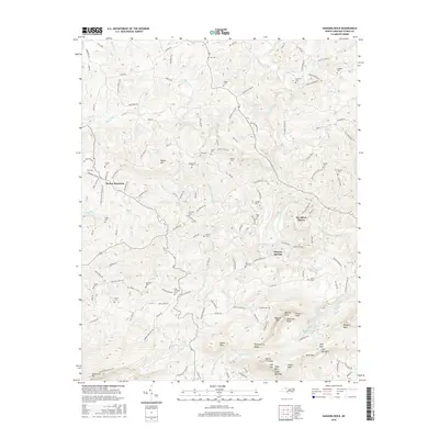
2016 Map of Hanging Rock
USGS Topo · Published 2016About this map
Sauratown Mtn and the distinct peaks of the Sauratown range dominate this part of Stokes County. The landscape is defined by the high elevations of Moores Knob and Hanging Rock, overlooking the Dan River as it passes through Dan River Shores. Geologic landmarks like Devils Chimney, Balanced Rock, and Indian Face are documented alongside the drainage basins of Cascade Cr and Vade Mecum Cr.
Find a feature on this map
158 named features on this map. Tap any name to fly to it.
Don’t see what you’re looking for? This feature index may not catch every label — zoom into the map to look around manually.
Map Details
Editions of this 2016 Hanging Rock Map
This is the sole edition of this map. No revisions or reprints were ever made.
Other maps of this area

1926 · Critz
USGS Topo · 1:48,000

1928 · Stuart
USGS Topo · 1:48,000

1928 · Critz
USGS Topo · 1:62,500

1931 · Stuart
USGS Topo · 1:62,500

1953 · Winston-Salem
USGS Topo · 1:250,000

1955 · Winston-Salem
USGS Topo · 1:250,000

1962 · Winston-Salem
USGS Topo · 1:250,000

1964 · Hanging Rock
USGS Topo · 1:24,000

1964 · Pinnacle
USGS Topo · 1:24,000

1964 · King
USGS Topo · 1:24,000