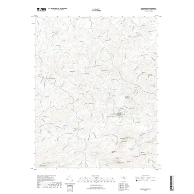
2019 Map of Hanging Rock
USGS Topo · Published 2019About this map
Moores Springs and the surrounding peaks of the Sauratown Mountains define this 2019 survey of Stokes County. The area is marked by dramatic elevation changes and geological formations, including Moores Knob, Hanging Rock, and Devils Chimney. Numerous waterfalls such as Lower Cascade Falls, Tory Falls, and Window Falls are found along the creeks draining the ridges into the Dan River. For genealogists, the landscape is punctuated by a high density of small family burying grounds, including Lankford Cem, Rierson Cem, and Flippin Cem. The settlement pattern follows the drainages of North Double Creek and Vade Mecum Cr, where older structures like Land of the Lost and Major Tom are noted alongside residential developments like Dan River Shores.
Find a feature on this map
158 named features on this map. Tap any name to fly to it.
Don’t see what you’re looking for? This feature index may not catch every label — zoom into the map to look around manually.
Map Details
Editions of this 2019 Hanging Rock Map
This is the sole edition of this map. No revisions or reprints were ever made.
Other maps of this area

1926 · Critz
USGS Topo · 1:48,000

1928 · Stuart
USGS Topo · 1:48,000

1928 · Critz
USGS Topo · 1:62,500

1931 · Stuart
USGS Topo · 1:62,500

1953 · Winston-Salem
USGS Topo · 1:250,000

1955 · Winston-Salem
USGS Topo · 1:250,000

1962 · Winston-Salem
USGS Topo · 1:250,000

1964 · Hanging Rock
USGS Topo · 1:24,000

1964 · Pinnacle
USGS Topo · 1:24,000

1964 · King
USGS Topo · 1:24,000