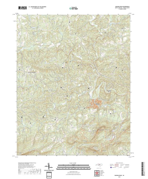
2022 Map of Hanging Rock
USGS Topo · Published 2022About this map
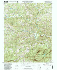
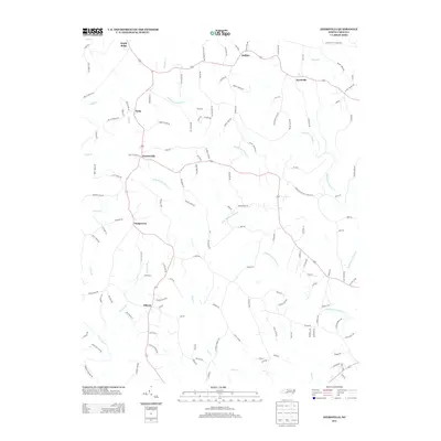
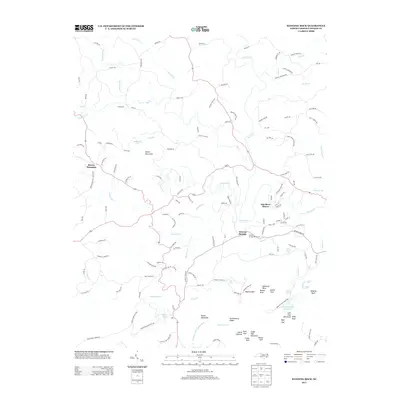
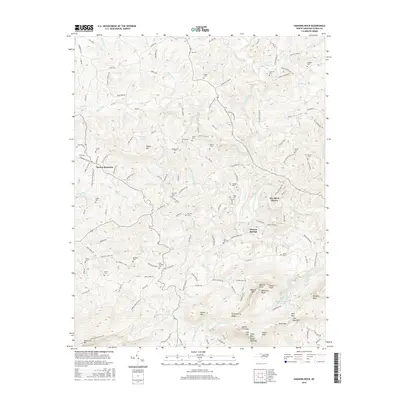
Moores Springs serves as a central point in this landscape of Stokes County, where the transition from agricultural valley to the dramatic peaks of the Sauratown Mountains is clearly defined. The terrain is marked by high-elevation landmarks such as Moores Knob, Cooks Wall, and the distinctive Balanced Rock. This area is particularly rich in family history, evidenced by a dense concentration of small burial grounds including the Nunn Family Cem, Rodgers Family Cem, and Bondurant Cem, reflecting the deep-rooted settlement patterns of the region.
Find a feature on this map
174 named features on this map. Tap any name to fly to it.
Don’t see what you’re looking for? This feature index may not catch every label — zoom into the map to look around manually.
Map Details
Editions of this 2022 Hanging Rock Map
This is the sole edition of this map. No revisions or reprints were ever made.
Historical Maps of Vade Mecum Through Time
22 maps found
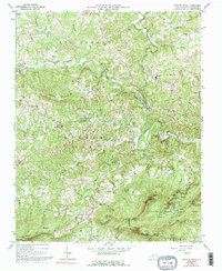
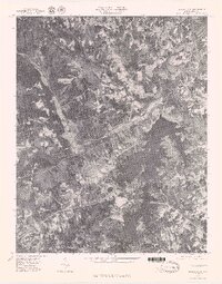
1964 Hanging Rock
Stokes County, NC
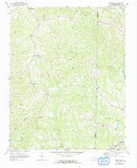
1971 Ayersville
Stokes County, NC
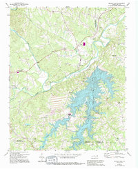
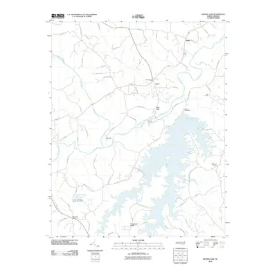
1971 Belews Lake
Stokes County, NC
1977 Belews Lake
Stokes County, NC
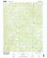
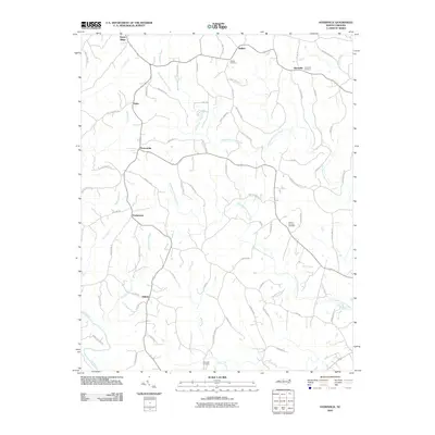
1996 Ayersville
Stokes County, NC
1997 Hanging Rock
Stokes County, NC
2000 Belews Lake
Stokes County, NC
2010 Ayersville
Stokes County, NC
2010 Belews Lake
Stokes County, NC
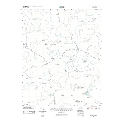
2010 Hanging Rock
Stokes County, NC
2013 Ayersville
Stokes County, NC
2013 Belews Lake
Stokes County, NC
2013 Hanging Rock
Stokes County, NC
2016 Ayersville
Stokes County, NC
2016 Belews Lake
Stokes County, NC
2016 Hanging Rock
Stokes County, NC
2019 Ayersville
Stokes County, NC
2019 Belews Lake
Stokes County, NC
2019 Hanging Rock
Stokes County, NC
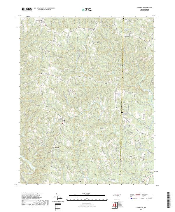
2022 Ayersville
Stokes County, NC
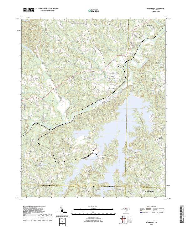
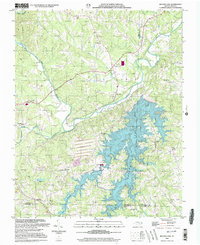
2022 Belews Lake
Stokes County, NC
2022 Hanging Rock
Stokes County, NC