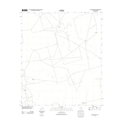
2013 Map of Hanks Ranch
USGS Topo · Published 2013About this map
Hazel Oil Field and the Jack Herbert Oil Field anchor this West Texas landscape in Upton County, illustrating the industrial infrastructure of the Permian Basin. This terrain is defined by a network of ranching and extraction features, where named water-pumping landmarks like Triangle Windmill, Jarboe Windmill, and the Middle Underwood Windmill reflect the essential management of water resources in a semi-arid environment. The eponymous Hanks Ranch serves as a primary point of human activity, connected to the wider region by rural routes such as Co RD-111. The mapping of these features reveals a specialized landscape where petroleum production and traditional ranching coexist, marked by the distinct patterns of access roads and property improvements typical of modern Texas land use.
Find a feature on this map
7 named features on this map. Tap any name to fly to it.
Don’t see what you’re looking for? This feature index may not catch every label — zoom into the map to look around manually.
Map Details
Editions of this 2013 Hanks Ranch Map
This is the sole edition of this map. No revisions or reprints were ever made.
Other maps of this area

1928 · Crane
USGS Topo · 1:125,000

1928 · Rankin
USGS Topo · 1:125,000

1954 · Pecos
USGS Topo · 1:250,000

1954 · San Angelo
USGS Topo · 1:250,000

1957 · Pecos
USGS Topo · 1:250,000

1958 · San Angelo
USGS Topo · 1:250,000

1965 · San Angelo
USGS Topo · 1:250,000

1968 · Benge Corner SE
USGS Topo · 1:24,000

1968 · Benge Corner SW
USGS Topo · 1:24,000

1968 · Midkiff SW
USGS Topo · 1:24,000