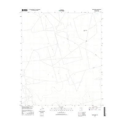
2016 Map of Hanks Ranch
USGS Topo · Published 2016About this map
Hanks Ranch serves as a lone point of habitation in this arid expanse of Upton County during the early 21st century. The landscape is defined by the subtle topography of High Lonesome Draw, which meanders through a territory primarily organized by a geometric network of property lines and ranch roads. The presence of Co Rd 111 and Co Rd 111-A indicates the essential transit corridors that connect this isolated ranching outpost to the broader West Texas region. This survey captures a moment in the modern ranching era where the vast, open spaces of the Permian Basin are partitioned into large private holdings, with natural drainage features like the draw providing the only organic variation in an otherwise structured grid of land management.
Find a feature on this map
4 named features on this map. Tap any name to fly to it.
Don’t see what you’re looking for? This feature index may not catch every label — zoom into the map to look around manually.
Map Details
Editions of this 2016 Hanks Ranch Map
This is the sole edition of this map. No revisions or reprints were ever made.
Other maps of this area

1928 · Crane
USGS Topo · 1:125,000

1928 · Rankin
USGS Topo · 1:125,000

1954 · Pecos
USGS Topo · 1:250,000

1954 · San Angelo
USGS Topo · 1:250,000

1957 · Pecos
USGS Topo · 1:250,000

1958 · San Angelo
USGS Topo · 1:250,000

1965 · San Angelo
USGS Topo · 1:250,000

1968 · Benge Corner SE
USGS Topo · 1:24,000

1968 · Benge Corner SW
USGS Topo · 1:24,000

1968 · Midkiff SW
USGS Topo · 1:24,000