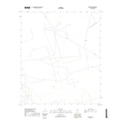
2019 Map of Hanks Ranch
USGS Topo · Published 2019About this map
Hanks Ranch and its surrounding ranchland define this interior portion of Upton County during the late 2010s. The landscape is characterized by its wide drainage patterns and sparse infrastructure, typical of the high plains in West Texas. The most prominent natural feature is the High Lonesome Draw, which meanders across the northern portion of the map, likely serving as a critical water-collecting drainage for the local ecosystem and grazing operations. Transportation in the area is limited to a network of county roads, specifically Co Rd 111 and Co Rd 111-A, which facilitate movement between these isolated cattle and sheep operations. This survey provides a precise look at the land's topography just before the turn of the decade, showing the geometric divisions of land typical of the region's ranching history.
Find a feature on this map
5 named features on this map. Tap any name to fly to it.
Don’t see what you’re looking for? This feature index may not catch every label — zoom into the map to look around manually.
Map Details
Editions of this 2019 Hanks Ranch Map
This is the sole edition of this map. No revisions or reprints were ever made.
Other maps of this area

1928 · Crane
USGS Topo · 1:125,000

1928 · Rankin
USGS Topo · 1:125,000

1954 · Pecos
USGS Topo · 1:250,000

1954 · San Angelo
USGS Topo · 1:250,000

1957 · Pecos
USGS Topo · 1:250,000

1958 · San Angelo
USGS Topo · 1:250,000

1965 · San Angelo
USGS Topo · 1:250,000

1968 · Benge Corner SE
USGS Topo · 1:24,000

1968 · Benge Corner SW
USGS Topo · 1:24,000

1968 · Midkiff SW
USGS Topo · 1:24,000