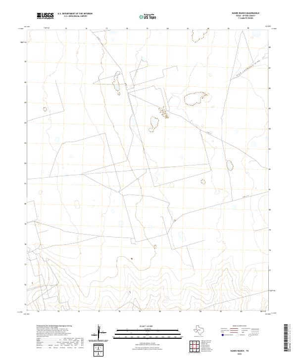
2022 Map of Hanks Ranch
USGS Topo · Published 2022About this map
High Lonesome Draw defines the drainage pattern across this arid stretch of West Texas, where the landscape is largely shaped by cattle ranching and infrastructure. The topography is marked by subtle elevation changes and the sparse network of rural transit lines, including Co RD 111 and Co RD 111-A, which navigate the open terrain of Upton County. This map records a specific moment in the modern management of these traditional ranchlands, showing the persistent relationship between the local geography and the roads that service it. It provides a clear view of the land's character at a time when the cattle industry and local county roads remain the primary human markers on the surface of the Llano Estacado.
Find a feature on this map
3 named features on this map. Tap any name to fly to it.
Don’t see what you’re looking for? This feature index may not catch every label — zoom into the map to look around manually.
Map Details
Editions of this 2022 Hanks Ranch Map
This is the sole edition of this map. No revisions or reprints were ever made.
Other maps of this area

1928 · Crane
USGS Topo · 1:125,000

1928 · Rankin
USGS Topo · 1:125,000

1954 · Pecos
USGS Topo · 1:250,000

1954 · San Angelo
USGS Topo · 1:250,000

1957 · Pecos
USGS Topo · 1:250,000

1958 · San Angelo
USGS Topo · 1:250,000

1965 · San Angelo
USGS Topo · 1:250,000

1968 · Benge Corner SE
USGS Topo · 1:24,000

1968 · Benge Corner SW
USGS Topo · 1:24,000

1968 · Midkiff SW
USGS Topo · 1:24,000