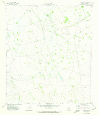
1971 Map of Hanks Ranch
USGS Topo · Published 1973About this map
Hazel Oil Field and the Jack Herbert Oil Field dominate this portion of the Permian Basin, where the landscape is defined by the infrastructure of the petroleum industry in the early 1970s. Numerous drill holes, wells, and a network of pipelines crisscross the terrain, illustrating the intense resource extraction during this era.
Find a feature on this map
11 named features on this map. Tap any name to fly to it.
Don’t see what you’re looking for? This feature index may not catch every label — zoom into the map to look around manually.
Map Details
Editions of this 1971 Hanks Ranch Map
This is the sole edition of this map. No revisions or reprints were ever made.
Other maps of this area

1928 · Crane
USGS Topo · 1:125,000

1928 · Rankin
USGS Topo · 1:125,000

1954 · Pecos
USGS Topo · 1:250,000

1954 · San Angelo
USGS Topo · 1:250,000

1957 · Pecos
USGS Topo · 1:250,000

1958 · San Angelo
USGS Topo · 1:250,000

1965 · San Angelo
USGS Topo · 1:250,000

1968 · Benge Corner SE
USGS Topo · 1:24,000

1968 · Benge Corner SW
USGS Topo · 1:24,000

1968 · Midkiff SW
USGS Topo · 1:24,000