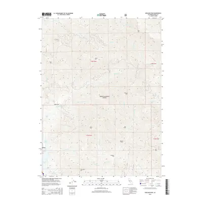
2015 Map of Hanland Peak
USGS Topo · Published 2015About this map
Shasta National Forest dominates this northern California landscape, where the northern reaches of Shasta Lake meet the steep topography of the Klamath Mountains. The map illustrates a transitional zone where the fingers of the reservoir, including the mouth of Gregory Cr and Indian Cr, penetrate deep into the drainage systems of the upper Sacramento River watershed. Significant elevation changes define the area, rising from the water's edge to prominent summits like Hanland Peak, Hirz Mtn, and Green Mtn. Localized level areas such as Matquaw Flat, Rabbit Flat, and Doe Gulch break the steep terrain, providing sites for early settlements or forestry activities. The southern portion of the map is particularly complex, showing the network of drainages such as Tom Head Cr and Long Tom Cr that feed into the larger reservoir system near the community of Antlers.
Find a feature on this map
40 named features on this map. Tap any name to fly to it.
Don’t see what you’re looking for? This feature index may not catch every label — zoom into the map to look around manually.
Map Details
Editions of this 2015 Hanland Peak Map
This is the sole edition of this map. No revisions or reprints were ever made.
Other maps of this area

1886 · Shasta
USGS Topo · 1:250,000

1890 · Red Bluff
USGS Topo · 1:250,000

1894 · Red Bluff
USGS Topo · 1:250,000

1894 · Shasta
USGS Topo · 1:250,000

1901 · Redding
USGS Topo · 1:125,000

1935 · Dunsmuir
USGS Topo · 1:125,000

1946 · Lamoine
USGS Topo · 1:62,500

1948 · Weed
USGS Topo · 1:250,000

1949 · Bollibokka Mtn
USGS Topo · 1:62,500

1950 · Weed
USGS Topo · 1:250,000