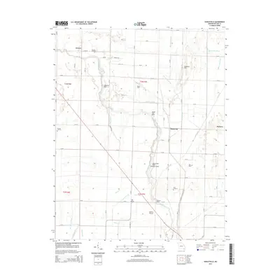
2015 Map of Hanleyville
USGS Topo · Published 2015About this map
The Black River winds through the heart of this Butler County landscape, defining a complex system of riverine features and lowland pastures. The river's serpentine path is marked by distinctive points like Hammons Bend, Buttermilk Bend, and the ominously named Deadmans Bend. This hydrologic network is further complicated by numerous sloughs and eddies, including Catherine Slough and Marshall Eddy, which illustrate the dynamic nature of the local drainage system.
Find a feature on this map
72 named features on this map. Tap any name to fly to it.
Don’t see what you’re looking for? This feature index may not catch every label — zoom into the map to look around manually.
Map Details
Editions of this 2015 Hanleyville Map
This is the sole edition of this map. No revisions or reprints were ever made.
Other maps of this area

1934 · Puxico
USGS Topo · 1:62,500

1935 · Poplar Bluff
USGS Topo · 1:62,500

1935 · Harviell
USGS Topo · 1:62,500

1939 · Puxico
USGS Topo · 1:62,500

1939 · Poplar Bluff
USGS Topo · 1:62,500

1940 · Valley Ridge
USGS Topo · 1:62,500

1949 · Poplar Bluff
USGS Topo · 1:62,500

1956 · Valley Ridge
USGS Topo · 1:62,500

1957 · Poplar Bluff
USGS Topo · 1:250,000

1959 · Poplar Bluff
USGS Topo · 1:250,000