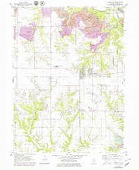
1971 Map of Hanna City
USGS Topo · Published 1979About this map
Hanna City and its surrounding countryside in Peoria County are depicted here during a period of significant land transformation. Extensive Strip Mine operations dominate the northern landscape, particularly in Rosefield, where large-scale extraction and Reclaimed Strip Mine areas sit side-by-side with Tailings Ponds. The central rail corridor, served by the Chicago and North Western railroad, connects the settlements of Eden and East Farmington, while residential developments like Lake Camelot and Lake Lancelot reflect a shift toward planned community living in the southern portion of the quadrangle.
Find a feature on this map
31 named features on this map. Tap any name to fly to it.
Don’t see what you’re looking for? This feature index may not catch every label — zoom into the map to look around manually.
Map Details
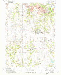
Editions of this 1971 Hanna City Map
2 editions found
Other maps of this area

1893 · Dunlap
USGS Topo · 1:62,500

1898 · Dunlap
USGS Topo · 1:62,500

1905 · Peoria
USGS Topo · 1:62,500

1927 · Peoria
USGS Topo · 1:62,500

1930 · Glasford
USGS Topo · 1:62,500

1932 · Dunlap
USGS Topo · 1:62,500

1933 · Dunlap
USGS Topo · 1:62,500

1937 · Dunlap
USGS Topo · 1:62,500

1944 · Elmwood
USGS Topo · 1:62,500

1948 · Elmwood
USGS Topo · 1:62,500