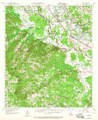
1957 Map of Hanna
USGS Topo · Published 1965About this map
The meandering Red River dominates this landscape, where the shifting waters have carved out a complex system of oxbows and backwaters like Hollingsworth Cutoff and Old Lake. This 1957 field-checked map illustrates a rural Louisiana economy transition, where the Lake End Oil Field and scattered oil wells appear alongside traditional landmarks like Jordan Ferry and the Rambin Store.
Find a feature on this map
112 named features on this map. Tap any name to fly to it.
Don’t see what you’re looking for? This feature index may not catch every label — zoom into the map to look around manually.
Map Details
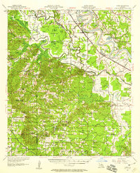
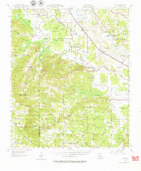
Editions of this 1957 Hanna Map
3 editions found
Other maps of this area

1935 · Hagewood
USGS Topo · 1:31,680

1937 · Campti NW
USGS Topo · 1:31,680

1937 · Campti SW
USGS Topo · 1:31,680

1938 · Chemard Lake
USGS Topo · 1:31,680

1938 · Hollis Creek
USGS Topo · 1:31,680

1938 · Allen
USGS Topo · 1:31,680

1938 · Lake End
USGS Topo · 1:31,680

1941 · Zwolle
USGS Topo · 1:62,500

1941 · Pelican
USGS Topo · 1:62,500

1942 · Many
USGS Topo · 1:62,500