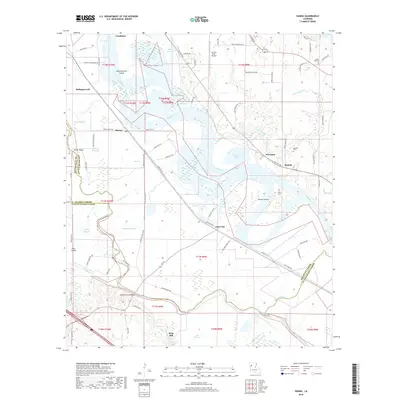
2018 Map of Hanna
USGS Topo · Published 2018About this map
The Red River defines the landscape of this Louisiana territory, where the borders of Natchitoches, Red River, and De Soto parishes converge. This 2018 survey documents a region defined by complex hydrology, from the Hollingsworth Cutoff to the winding course of Bayou Pierre. Small settlements like Hanna, Piermont, and Lake End are connected by a network of parish roads that follow the high ground and river levees. Evidence of long-standing community roots appears in local burial grounds such as Browne Cem and Union Hall Cem.
Find a feature on this map
85 named features on this map. Tap any name to fly to it.
Don’t see what you’re looking for? This feature index may not catch every label — zoom into the map to look around manually.
Map Details
Editions of this 2018 Hanna Map
This is the sole edition of this map. No revisions or reprints were ever made.
Other maps of this area
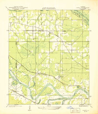
1937 · Campti NW
USGS Topo · 1:31,680
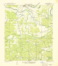
1937 · Campti SW
USGS Topo · 1:31,680
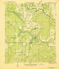
1938 · Chemard Lake
USGS Topo · 1:31,680
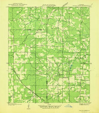
1938 · Hollis Creek
USGS Topo · 1:31,680
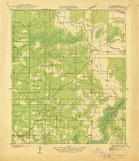
1938 · Allen
USGS Topo · 1:31,680
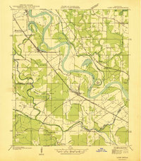
1938 · Lake End
USGS Topo · 1:31,680
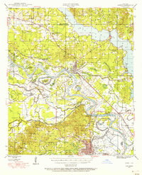
1944 · Campti
USGS Topo · 1:62,500
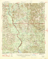
1947 · Ashland
USGS Topo · 1:62,500
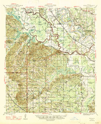
1947 · Hanna
USGS Topo · 1:62,500
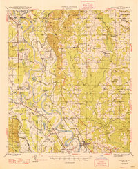
1948 · Coushatta
USGS Topo · 1:62,500