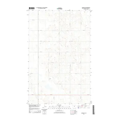
2014 Map of Hannah SE
USGS Topo · Published 2014About this map
Bethel Cem stands as a quiet focal point within this 2014 survey of the rural landscape in Cavalier County. The area is defined by a rigorous section-line road network, where routes like 100th St NE and 93rd St NE intersect with north-south corridors such as Cr-17 and 97th Ave NE. This systematic grid illustrates the enduring structure of North Dakota’s agricultural heartland, where land division and access remained consistent into the early 21st century. The map provides a clear view of the topographical depressions and subtle drainage patterns that characterize this prairie region, revealing how the local geography influenced the placement of rural landmarks like the cemetery.
Find a feature on this map
15 named features on this map. Tap any name to fly to it.
Don’t see what you’re looking for? This feature index may not catch every label — zoom into the map to look around manually.
Map Details
Editions of this 2014 Hannah SE Map
This is the sole edition of this map. No revisions or reprints were ever made.
Other maps of this area

1953 · Devils Lake
USGS Topo · 1:250,000

1956 · Devils Lake
USGS Topo · 1:250,000

1970 · Alsen
USGS Topo · 1:24,000

1970 · Mount Carmel
USGS Topo · 1:24,000

1970 · Hannah SW
USGS Topo · 1:24,000

1970 · Wales
USGS Topo · 1:24,000

1970 · Hannah
USGS Topo · 1:24,000

1970 · Loma
USGS Topo · 1:24,000

1970 · Hannah SE
USGS Topo · 1:24,000

1970 · Langdon West
USGS Topo · 1:24,000