
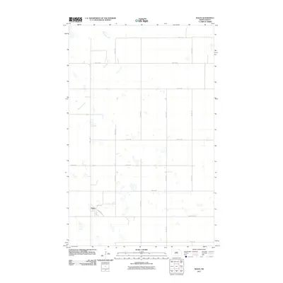
1970 Map of Mount Carmel
USGS Topo · Published 1972About this map
Mount Carmel sits at the center of this survey, which captures the rural character of northern Cavalier County along the international border. The landscape is defined by the prairie terrain of Mount Carmel and South Dresden, where the headwaters of the Little South Pembina River snake through a patchwork of agricultural sections. Established at a time when the area remained predominantly rural, the map documents small-scale industrial activity through several extraction sites, including a Shale Pit and scattered Gravel Pits. Aside from the central settlement, a lone Townhall stands as a marker of civic life for the surrounding farming community. This map is a precise record of the land use and drainage patterns near the boundary between the United States and Canada, showing the intersection of Manitoba and North Dakota.
Find a feature on this map
11 named features on this map. Tap any name to fly to it.
Don’t see what you’re looking for? This feature index may not catch every label — zoom into the map to look around manually.
Map Details
Editions of this 1970 Mount Carmel Map
This is the sole edition of this map. No revisions or reprints were ever made.
Other maps of this area

1953 · Devils Lake
USGS Topo · 1:250,000

1956 · Devils Lake
USGS Topo · 1:250,000

1967 · Langdon East
USGS Topo · 1:24,000

1967 · Maida
USGS Topo · 1:24,000

1970 · Wales
USGS Topo · 1:24,000

1970 · Hannah SE
USGS Topo · 1:24,000

1970 · Langdon West
USGS Topo · 1:24,000

1985 · Langdon
USGS Topo · 1:100,000
2011 · Wales
USGS Topo · 1:24,000

2011 · Mount Carmel
USGS Topo · 1:24,000