
1970 Map of Wales
USGS Topo · Published 1972About this map
Wales stands as the primary settlement in this northern landscape near the Canada-United States border, as documented by the Geological Survey during a 1970 field check. The town serves as a hub for the surrounding agricultural townships of Dresden, South Dresden, Minto, and Linden. Its economy and layout are defined by the Burlington Northern railroad line, which cuts diagonally across the prairie. The terrain is characterized by numerous small glacial depressions and the wandering path of Snowflake Creek in the north. Several Gravel Pit locations are noted throughout the quadrangle, indicating the local extraction industry used for road building across this portion of Cavalier County. The map reveals the precise section lines and rural road networks that structured life in this border region during the early 1970s.
Find a feature on this map
12 named features on this map. Tap any name to fly to it.
Don’t see what you’re looking for? This feature index may not catch every label — zoom into the map to look around manually.
Map Details
Editions of this 1970 Wales Map
This is the sole edition of this map. No revisions or reprints were ever made.
Other maps of this area

1953 · Devils Lake
USGS Topo · 1:250,000

1956 · Devils Lake
USGS Topo · 1:250,000

1970 · Mount Carmel
USGS Topo · 1:24,000

1970 · Hannah SW
USGS Topo · 1:24,000

1970 · Hannah
USGS Topo · 1:24,000

1970 · Hannah SE
USGS Topo · 1:24,000

1970 · Langdon West
USGS Topo · 1:24,000

1985 · Langdon
USGS Topo · 1:100,000
2011 · Hannah SW
USGS Topo · 1:24,000
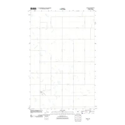
2011 · Wales
USGS Topo · 1:24,000