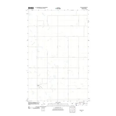
2011 Map of Wales
USGS Topo · Published 2011About this map
The settlement of Wales serves as the primary focal point of this northern Cavalier County landscape, situated at the intersection of County Hwy-17 and the aptly named Elevator Rd. This area reflects the organized agricultural grid typical of the region, where a dense network of numbered section roads like 96th Ave NE and 101st St NE facilitate movement across the prairie. The natural drainage of the land is defined by the winding course of Snowflake Creek, which meanders through the northwestern portion of the quadrangle. The map illustrates a rural environment where the placement of Wales and its surrounding roads indicates a community deeply tied to its transit routes and local industry, providing a clear view of the area's layout in the early twenty-first century.
Find a feature on this map
17 named features on this map. Tap any name to fly to it.
Don’t see what you’re looking for? This feature index may not catch every label — zoom into the map to look around manually.
Map Details
Editions of this 2011 Wales Map
This is the sole edition of this map. No revisions or reprints were ever made.
Other maps of this area

1953 · Devils Lake
USGS Topo · 1:250,000

1956 · Devils Lake
USGS Topo · 1:250,000

1970 · Mount Carmel
USGS Topo · 1:24,000

1970 · Hannah SW
USGS Topo · 1:24,000

1970 · Wales
USGS Topo · 1:24,000

1970 · Hannah
USGS Topo · 1:24,000

1970 · Hannah SE
USGS Topo · 1:24,000

1970 · Langdon West
USGS Topo · 1:24,000

1985 · Langdon
USGS Topo · 1:100,000
2011 · Hannah SW
USGS Topo · 1:24,000