
1967 Map of Maida
USGS Topo · Published 1969About this map
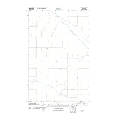
Maida sits at the northern edge of the prairie in the late 1960s, defined by its position along the international boundary between the Canada United States border. This borderland character is anchored by the Port of Entry U S Customs, marking the transit point into Manitoba. The landscape is primarily shaped by the meandering course of the Little North Pembina River, which cuts through the townships of Mount Carmel and West Hope. Local life is recorded through the locations of the Stilwell Ch and Elkwood Cem, alongside several unnamed cemeteries. Water management is prominent at the Mt Carmel Dam, which regulates the river as it flows toward the eastern edge of the quadrangle, reflecting the region's agricultural and hydrological development during this period.
Find a feature on this map
14 named features on this map. Tap any name to fly to it.
Don’t see what you’re looking for? This feature index may not catch every label — zoom into the map to look around manually.
Map Details
Editions of this 1967 Maida Map
This is the sole edition of this map. No revisions or reprints were ever made.
Other maps of this area

1953 · Devils Lake
USGS Topo · 1:250,000

1956 · Devils Lake
USGS Topo · 1:250,000

1967 · Langdon East
USGS Topo · 1:24,000

1969 · Olga SW
USGS Topo · 1:24,000

1969 · Olga NW
USGS Topo · 1:24,000

1970 · Mount Carmel
USGS Topo · 1:24,000

1970 · Langdon West
USGS Topo · 1:24,000

1985 · Langdon
USGS Topo · 1:100,000

2011 · Mount Carmel
USGS Topo · 1:24,000
2011 · Olga NW
USGS Topo · 1:24,000