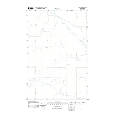
2011 Map of Olga NW
USGS Topo · Published 2011About this map
Big Pembina Cemetery sits at the heart of this rural landscape in Cavalier County, serving as a primary landmark for local genealogical research. The terrain is defined by the winding course of the Pembina River in the northeast and the Little South Pembina River as it meanders through the southern half of the quadrangle. A strict section-line road grid, including County Hwy 55, partitions the prairie into expansive agricultural blocks. This 2011 survey by the U.S. Geological Survey illustrates a sparsely populated corner of North Dakota where the natural hydrology of the Pembina river system remains the dominant geographic feature amidst the modern road network.
Find a feature on this map
15 named features on this map. Tap any name to fly to it.
Don’t see what you’re looking for? This feature index may not catch every label — zoom into the map to look around manually.
Map Details
Editions of this 2011 Olga NW Map
This is the sole edition of this map. No revisions or reprints were ever made.
Other maps of this area

1953 · Devils Lake
USGS Topo · 1:250,000

1956 · Devils Lake
USGS Topo · 1:250,000

1967 · Langdon East
USGS Topo · 1:24,000

1967 · Maida
USGS Topo · 1:24,000

1969 · Olga SW
USGS Topo · 1:24,000

1969 · Olga NW
USGS Topo · 1:24,000
1972 · Vang
USGS Topo · 1:24,000
1972 · Olga
USGS Topo · 1:24,000

1985 · Langdon
USGS Topo · 1:100,000
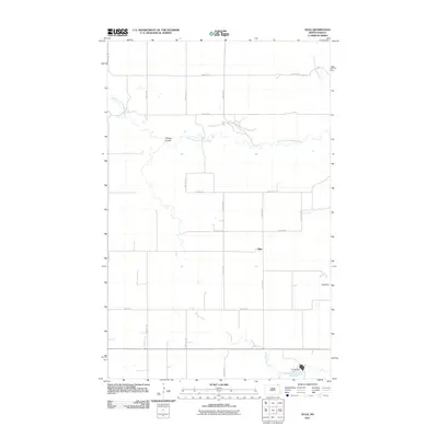
2011 · Olga
USGS Topo · 1:24,000