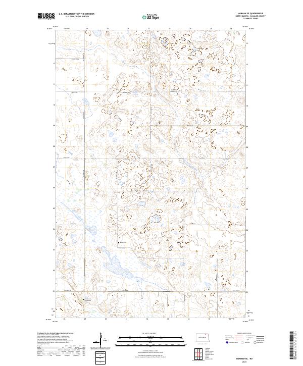
2024 Map of Hannah SE
USGS Topo · Published 2024About this map
Cavalier County waterfowl habitat and scattered prairie cemeteries characterize this landscape in the northeastern corner of North Dakota. The region is defined by a series of protected lands, most notably the Cavalier County Waterfowl Production Area, which preserves vital wetlands across several sections. For those researching family history or local parish origins, the map identifies three distinct burial grounds: Saint Johns Lutheran Cem, Bethel Cem, and North Unity Mennonite Cem. These small, localized sites reflect the immigrant heritage and denominational roots that shaped the agricultural townships of t162n r61w and its surrounding ranges. The terrain is marked by a high density of prairie potholes and small water bodies, typical of the glaciated plains, which dictate the winding paths of rural roads like 95th Ave NE and 99th St NE.
Find a feature on this map
24 named features on this map. Tap any name to fly to it.
Don’t see what you’re looking for? This feature index may not catch every label — zoom into the map to look around manually.
Map Details
Editions of this 2024 Hannah SE Map
This is the sole edition of this map. No revisions or reprints were ever made.
Other maps of this area

1953 · Devils Lake
USGS Topo · 1:250,000

1956 · Devils Lake
USGS Topo · 1:250,000

1970 · Alsen
USGS Topo · 1:24,000

1970 · Mount Carmel
USGS Topo · 1:24,000

1970 · Hannah SW
USGS Topo · 1:24,000

1970 · Wales
USGS Topo · 1:24,000

1970 · Hannah
USGS Topo · 1:24,000

1970 · Loma
USGS Topo · 1:24,000

1970 · Hannah SE
USGS Topo · 1:24,000

1970 · Langdon West
USGS Topo · 1:24,000