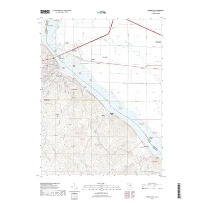
2017 Map of Hannibal East
USGS Topo · Published 2017About this map
Hannibal and its river-dependent neighbors dominate this 2017 study of the Mississippi River corridor. The map details the complex geography where Missouri and Illinois meet, anchored by the Wabash Bridge and Mark Twain Memorial Bridge connecting the main city to East Hannibal and Shepherd. The landscape is a mix of urban street grids and the sprawling wetlands of the Mississippi River, featuring numerous islands like Shuck Island and Saverton Island.
Find a feature on this map
57 named features on this map. Tap any name to fly to it.
Don’t see what you’re looking for? This feature index may not catch every label — zoom into the map to look around manually.
Map Details
Editions of this 2017 Hannibal East Map
This is the sole edition of this map. No revisions or reprints were ever made.
Other maps of this area

1925 · Quincy
USGS Topo · 1:62,500

1925 · Liberty
USGS Topo · 1:62,500

1927 · Liberty
USGS Topo · 1:62,500

1931 · Barry
USGS Topo · 1:62,500

1932 · Hannibal
USGS Topo · 1:62,500

1936 · Hannibal
USGS Topo · 1:48,000

1936 · Barry
USGS Topo · 1:48,000

1944 · Barry
USGS Topo · 1:62,500

1944 · Quincy
USGS Topo · 1:62,500

1945 · Hannibal
USGS Topo · 1:62,500