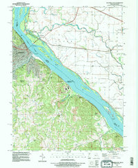
1993 Map of Hannibal East
USGS Topo · Published 1996About this map
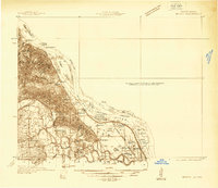
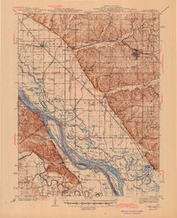
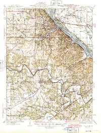
The Mississippi River dominates this landscape, serving as a state boundary between Missouri and Illinois while shaping the industrial and commemorative character of Hannibal. By the early 1990s, the riverfront was defined by extensive levee systems and riverine islands like Shuck Island and Pearl Island. The map highlights the enduring legacy of local history through the Mark Twain Memorial Bridge and the Mark Twain Cave, alongside numerous limestone Quarries and Mines that underscore the area's geological utility. Downriver, the terrain rises into the river bluffs near Saverton, where the landscape is marked by landmarks like Lookout Mountain and Stewart Cave. Genealogical value is found in the meticulously detailed Riverside Cem, Mt Olivet Cem, and Marble Creek Cem, documenting the resting places of generations settled along the riverbanks and the nearby community of Monkey Run.
Find a feature on this map
64 named features on this map. Tap any name to fly to it.
Don’t see what you’re looking for? This feature index may not catch every label — zoom into the map to look around manually.
Map Details
Editions of this 1993 Hannibal East Map
This is the sole edition of this map. No revisions or reprints were ever made.
Other maps of this area

1925 · Quincy
USGS Topo · 1:62,500
1925 · Liberty
USGS Topo · 1:62,500
1927 · Liberty
USGS Topo · 1:62,500

1931 · Barry
USGS Topo · 1:62,500

1932 · Hannibal
USGS Topo · 1:62,500
1936 · Hannibal
USGS Topo · 1:48,000
1936 · Barry
USGS Topo · 1:48,000
1944 · Barry
USGS Topo · 1:62,500

1944 · Quincy
USGS Topo · 1:62,500
1945 · Hannibal
USGS Topo · 1:62,500