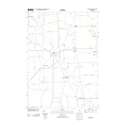
2013 Map of Hannibal
USGS Topo · Published 2013About this map
Ninemile Cr and its tributaries form the primary drainage pattern for this section of Oswego County, where a network of crossroads settlements connects the agricultural landscape. The village of Hannibal serves as the central hub, supported by smaller hamlets such as Hannibal Center, North Hannibal, and South Hannibal. The map reveals a persistent local reliance on the land, evidenced by specialized agricultural sites like Wiltse's Fruit Farm and Enchantment Acres Flower Farm. For genealogists, the landscape is dotted with small burial grounds including Bethel Cem and Mosher Cem, which provide clues to the region's family-centered settlement history. The presence of Metcalf Siding in the northeast corner points to the area's rail transport heritage, while the varied terrain of Harris Hill and the wetlands around Muck Cr illustrate the environmental factors that shaped early road placements and farm boundaries.
Find a feature on this map
96 named features on this map. Tap any name to fly to it.
Don’t see what you’re looking for? This feature index may not catch every label — zoom into the map to look around manually.
Map Details
Editions of this 2013 Hannibal Map
This is the sole edition of this map. No revisions or reprints were ever made.
Other maps of this area

1900 · Baldwinsville
USGS Topo · 1:62,500

1900 · Oswego
USGS Topo · 1:62,500

1900 · Fulton
USGS Topo · 1:62,500

1902 · Weedsport
USGS Topo · 1:62,500

1943 · Oswego East
USGS Topo · 1:31,680

1943 · Lysander
USGS Topo · 1:31,680

1943 · Oswego West
USGS Topo · 1:31,680

1943 · Cato
USGS Topo · 1:31,680

1943 · Hannibal
USGS Topo · 1:31,680

1943 · Fair Haven
USGS Topo · 1:31,680