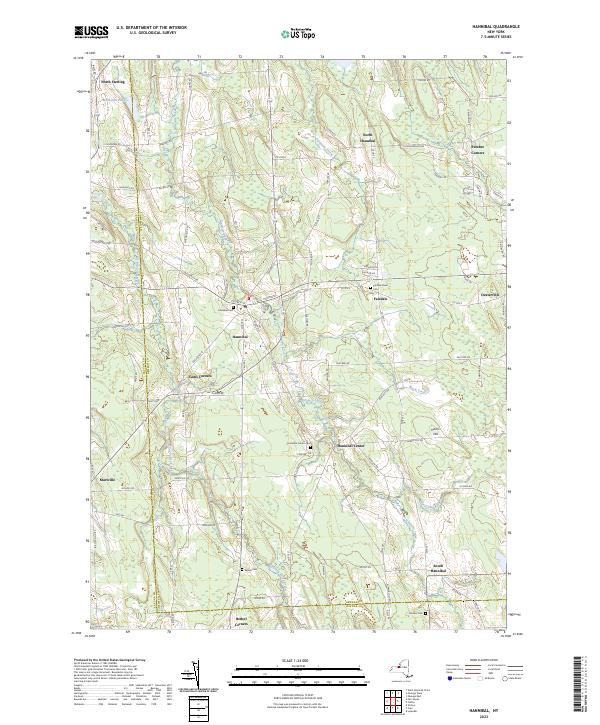
2023 Map of Hannibal
USGS Topo · Published 2023About this map
Ninemile Creek and Eightmile Creek carve through the agricultural landscape of western Oswego County, defining a region where small hamlets and historic intersections remain the primary centers of activity. The village of Hannibal serves as a central hub, surrounded by secondary settlements such as Hannibal Center, Fairdale, and North Hannibal. The landscape is heavily marked by its rural heritage, with numerous family and community burial grounds like Fairdale Rural Cem and Mosher Cem distributed across the town and neighboring Cayuga County line.
Find a feature on this map
94 named features on this map. Tap any name to fly to it.
Don’t see what you’re looking for? This feature index may not catch every label — zoom into the map to look around manually.
Map Details
Editions of this 2023 Hannibal Map
This is the sole edition of this map. No revisions or reprints were ever made.
Other maps of this area

1900 · Baldwinsville
USGS Topo · 1:62,500

1900 · Oswego
USGS Topo · 1:62,500

1900 · Fulton
USGS Topo · 1:62,500

1902 · Weedsport
USGS Topo · 1:62,500

1943 · Oswego East
USGS Topo · 1:31,680

1943 · Lysander
USGS Topo · 1:31,680

1943 · Oswego West
USGS Topo · 1:31,680

1943 · Cato
USGS Topo · 1:31,680

1943 · Hannibal
USGS Topo · 1:31,680

1943 · Fair Haven
USGS Topo · 1:31,680