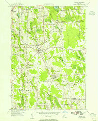
1954 Map of Hannibal
USGS Topo · Published 1955About this map
The village of Hannibal serves as the central hub of this 1954 survey, situated at the junction of several rural routes including Crockett Road and Onionville Rd. The landscape is defined by its agricultural and industrial utility, with the New York Central Railroad cutting diagonally through the terrain to serve locations like Metcalf Siding. This rail presence alongside numerous gravel pits and a Quarry suggests a local economy tied to extraction and transit during the mid-century period.
Find a feature on this map
60 named features on this map. Tap any name to fly to it.
Don’t see what you’re looking for? This feature index may not catch every label — zoom into the map to look around manually.
Map Details
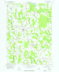
Editions of this 1954 Hannibal Map
2 editions found
Other maps of this area

1900 · Baldwinsville
USGS Topo · 1:62,500

1900 · Oswego
USGS Topo · 1:62,500

1900 · Fulton
USGS Topo · 1:62,500

1902 · Weedsport
USGS Topo · 1:62,500

1943 · Oswego East
USGS Topo · 1:31,680

1943 · Lysander
USGS Topo · 1:31,680

1943 · Oswego West
USGS Topo · 1:31,680

1943 · Cato
USGS Topo · 1:31,680

1943 · Hannibal
USGS Topo · 1:31,680

1943 · Fair Haven
USGS Topo · 1:31,680