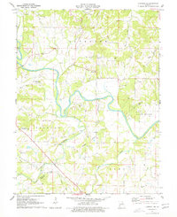
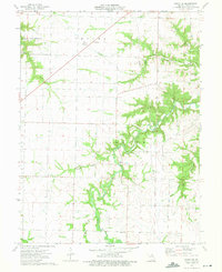
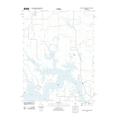
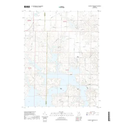
1971 Map of Hannibal SE
USGS Topo · Published 1976About this map
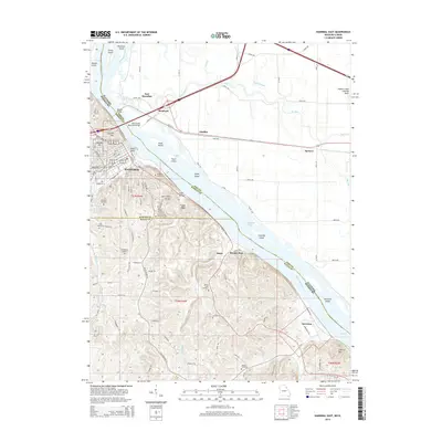
The Salt River meanders through the townships of Saverton, Spencer, and Peno in this 1971 survey of northeastern Missouri. This landscape is defined by its karst topography and early transportation routes, including an Old Railroad Grade and the New London Landing Strip. Numerous family and community burial grounds, such as Haden Cem, Matson Cem, and Pritchett Cem, are scattered across the uplands, offering significant data for genealogical research in Ralls and Pike Counties.
Find a feature on this map
35 named features on this map. Tap any name to fly to it.
Don’t see what you’re looking for? This feature index may not catch every label — zoom into the map to look around manually.
Map Details
Editions of this 1971 Hannibal SE Map
2 editions found
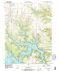
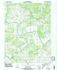
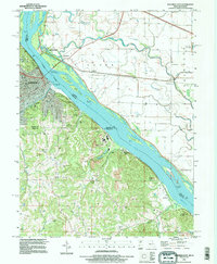
Historical Maps of Salt River Through Time
23 maps found
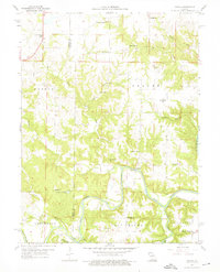
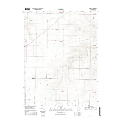
1959 Joanna
Ralls County, MO
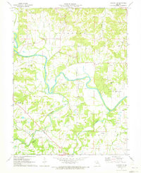
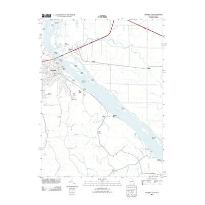
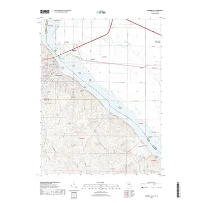
1971 Hannibal East
Ralls County, MO
1971 Hannibal SE
Ralls County, MO
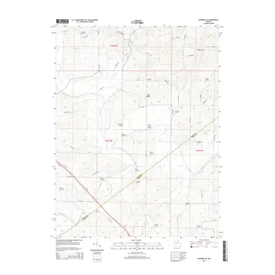
1973 Perry NE
Ralls County, MO
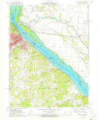
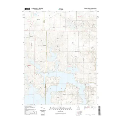
1990 Clarence Cannon Dam
Ralls County, MO
1991 Hannibal SE
Ralls County, MO
1993 Hannibal East
Ralls County, MO
2012 Clarence Cannon Dam
Ralls County, MO
2012 Hannibal East
Ralls County, MO
2012 Hannibal SE
Ralls County, MO
2012 Perry NE
Ralls County, MO
2014 Clarence Cannon Dam
Ralls County, MO
2014 Hannibal East
Ralls County, MO
2015 Hannibal SE
Ralls County, MO
2015 Perry NE
Ralls County, MO
2017 Clarence Cannon Dam
Ralls County, MO
2017 Hannibal East
Ralls County, MO
2017 Hannibal SE
Ralls County, MO
2017 Perry NE
Ralls County, MO
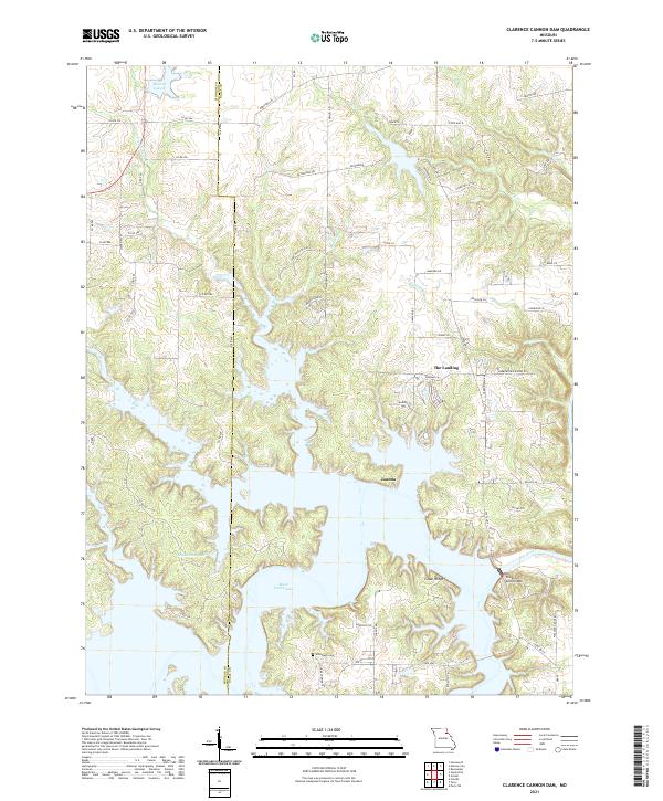
2021 Clarence Cannon Dam
Ralls County, MO
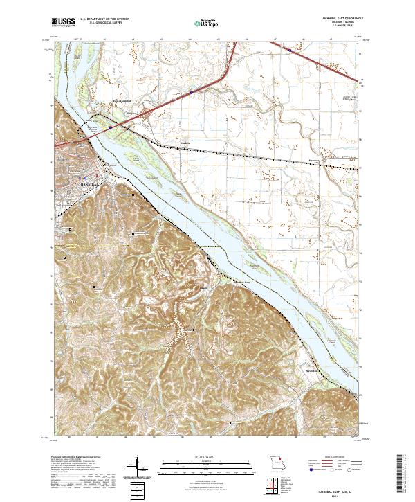
2021 Hannibal East
Ralls County, MO
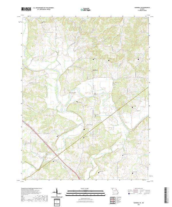
2021 Hannibal SE
Ralls County, MO
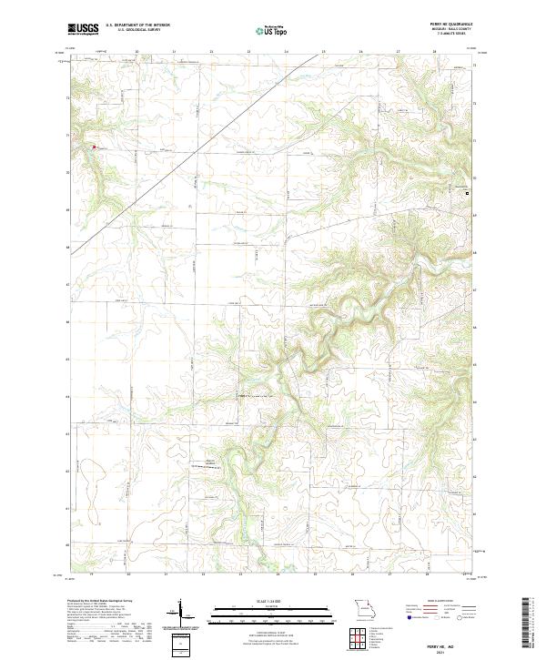
2021 Perry NE
Ralls County, MO