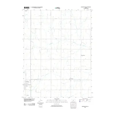
2009 Map of Hanover East
USGS Topo · Published 2009About this map
Hanover anchors the southwestern portion of this Washington County landscape, where the local street grid including E Elm St meets Shady Blvd. This 2009 survey illustrates a predominantly agrarian region defined by a structured network of section roads like Big Bear Rd and All American Rd that crisscross the prairie. These roads navigate a series of winding watercourses, most notably Cottonwood Creek and the meandering Horseshoe Creek. For researchers, the presence of Saint Johns Cemetery and Hanover Cemetery provides critical focal points for genealogical study near the primary settlement. To the east and north, the smaller named localities of Bremen, Hermansberg, and Lanham mark the intersections of rural life, while creeks like Mountain Creek and Roemer Creek drain the open fields.
Find a feature on this map
28 named features on this map. Tap any name to fly to it.
Don’t see what you’re looking for? This feature index may not catch every label — zoom into the map to look around manually.
Map Details
Editions of this 2009 Hanover East Map
This is the sole edition of this map. No revisions or reprints were ever made.
Other maps of this area

1889 · Marysville
USGS Topo · 1:125,000

1894 · Marysville
USGS Topo · 1:125,000

1955 · Manhattan
USGS Topo · 1:250,000

1955 · Lincoln
USGS Topo · 1:250,000

1956 · Manhattan
USGS Topo · 1:250,000

1957 · Manhattan
USGS Topo · 1:250,000

1957 · Lincoln
USGS Topo · 1:250,000

1958 · Lincoln
USGS Topo · 1:250,000

1966 · Marysville
USGS Topo · 1:24,000

1966 · Hanover SE
USGS Topo · 1:24,000