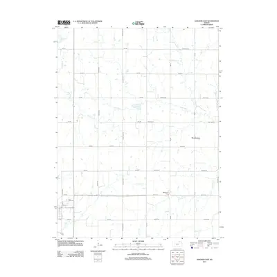
2012 Map of Hanover East
USGS Topo · Published 2012About this map
Bremen and the crossroads at Hermansberg anchor the eastern Washington County landscape in this 2012 survey. This area of northern Kansas is defined by a grid of rural roads like Frontier Rd and Cross Creek Rd that navigate the meandering courses of Horseshoe Cr and Cottonwood Cr. Near the western edge of the map, the settlement of Hanover sits along the bend of the creek, serving as a local hub for the surrounding agricultural community. Genealogists will find the location of Saint Johns Cem near the junction of 23rd Rd and Shady Blvd, a site of local historical importance. The topography is further etched by smaller tributaries including Mountain Creek and Raemer Creek, illustrating the natural drainage patterns that have influenced farmstead placement for generations.
Find a feature on this map
37 named features on this map. Tap any name to fly to it.
Don’t see what you’re looking for? This feature index may not catch every label — zoom into the map to look around manually.
Map Details
Editions of this 2012 Hanover East Map
This is the sole edition of this map. No revisions or reprints were ever made.
Other maps of this area

1889 · Marysville
USGS Topo · 1:125,000

1894 · Marysville
USGS Topo · 1:125,000

1955 · Manhattan
USGS Topo · 1:250,000

1955 · Lincoln
USGS Topo · 1:250,000

1956 · Manhattan
USGS Topo · 1:250,000

1957 · Manhattan
USGS Topo · 1:250,000

1957 · Lincoln
USGS Topo · 1:250,000

1958 · Lincoln
USGS Topo · 1:250,000

1966 · Marysville
USGS Topo · 1:24,000

1966 · Hanover SE
USGS Topo · 1:24,000