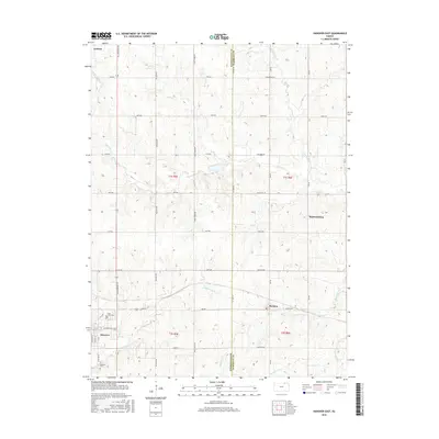
2016 Map of Hanover East
USGS Topo · Published 2016About this map
Hanover anchors the southwestern corner of this landscape, situated at the boundary of Washington and Marshall counties. The town's grid, including Hanover Ave and Shady Blvd, transitions into a vast network of section-line roads that define the region's agricultural character. These routes, such as All American Rd and Frontier Rd, connect small rural settlements and crossroads like Bremen and Lanham. The terrain is shaped by a dense drainage system, where the winding courses of Cottonwood Creek and Horseshoe Creek cut through the plains.
Find a feature on this map
45 named features on this map. Tap any name to fly to it.
Don’t see what you’re looking for? This feature index may not catch every label — zoom into the map to look around manually.
Map Details
Editions of this 2016 Hanover East Map
This is the sole edition of this map. No revisions or reprints were ever made.
Other maps of this area

1889 · Marysville
USGS Topo · 1:125,000

1894 · Marysville
USGS Topo · 1:125,000

1955 · Manhattan
USGS Topo · 1:250,000

1955 · Lincoln
USGS Topo · 1:250,000

1956 · Manhattan
USGS Topo · 1:250,000

1957 · Manhattan
USGS Topo · 1:250,000

1957 · Lincoln
USGS Topo · 1:250,000

1958 · Lincoln
USGS Topo · 1:250,000

1966 · Marysville
USGS Topo · 1:24,000

1966 · Hanover SE
USGS Topo · 1:24,000