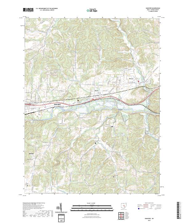
2023 Map of Hanover
USGS Topo · Published 2023About this map
The Licking River carves a significant path through this portion of Licking County, passing through the dramatic Licking Gorge east of Claylick. This modern topographical study reveals a landscape defined by entrenched waterways like Wilkins Run and Claylick Creek, which snake through numerous hollows such as London Hollow and Bear Hollow. The area is dotted with small rural nodes and crossroads like Swans, Marne, and the eastern reaches of Newark.
Find a feature on this map
129 named features on this map. Tap any name to fly to it.
Don’t see what you’re looking for? This feature index may not catch every label — zoom into the map to look around manually.
Map Details
Editions of this 2023 Hanover Map
This is the sole edition of this map. No revisions or reprints were ever made.
Other maps of this area

1909 · Newark
USGS Topo · 1:62,500

1909 · Thornville
USGS Topo · 1:62,500

1910 · Frazeysburg
USGS Topo · 1:62,500

1910 · Zanesville
USGS Topo · 1:62,500

1947 · Columbus
USGS Topo · 1:250,000

1950 · Marion
USGS Topo · 1:250,000

1961 · Columbus
USGS Topo · 1:250,000

1961 · Hanover
USGS Topo · 1:24,000

1961 · Newark
USGS Topo · 1:24,000
1961 · Thornville
USGS Topo · 1:24,000