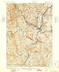
1908 Map of Hanover
USGS Topo · Published 1932About this map
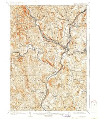
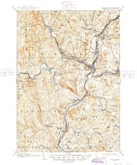
The Connecticut River serves as the dividing line between Vermont and New Hampshire in this early twentieth-century survey, anchoring a region defined by its prominent educational and industrial centers. In the northeast, Dartmouth College marks the heart of Hanover, while the confluence of the White River and the Connecticut River creates the vital rail hub of White River Junction. This transport network is further defined by the Central Vermont R R and the Boston and Maine R R, which follow the river valleys and connect the bustling towns of Lebanon and Hartford.
Find a feature on this map
121 named features on this map. Tap any name to fly to it.
Don’t see what you’re looking for? This feature index may not catch every label — zoom into the map to look around manually.
Map Details
Editions of this 1908 Hanover Map
7 editions found
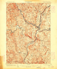
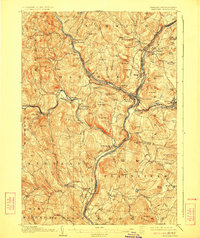
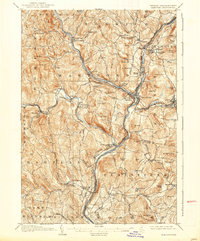
Other maps of this area

1896 · Strafford
USGS Topo · 1:62,500

1902 · Sunapee
USGS Topo · 1:62,500

1905 · Sunapee
USGS Topo · 1:62,500

1906 · Hanover
USGS Topo · 1:62,500

1907 · Sunapee
USGS Topo · 1:62,500

1908 · Hanover
USGS Topo · 1:62,500

1911 · Woodstock
USGS Topo · 1:62,500

1913 · Woodstock
USGS Topo · 1:62,500

1919 · Royalton
USGS Topo · 1:62,500

1924 · Randolph
USGS Topo · 1:48,000