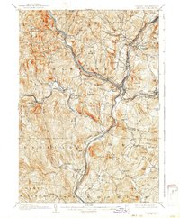
1908 Map of Hanover
USGS Topo · Published 1942About this map
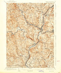
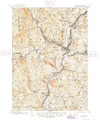
The Connecticut River serves as the central artery for this Upper Valley region, dividing the landscape into the bustling rail hubs of Vermont and New Hampshire during the early 20th century. At White River Junction, a critical intersection of the Central Vermont R R and Boston and Maine R R highlights the area's importance as a New England transportation gateway. To the north, Dartmouth College anchors the town of Hanover, while across the river, Norwich rises into the hills toward Griggs Mountain.
Find a feature on this map
123 named features on this map. Tap any name to fly to it.
Don’t see what you’re looking for? This feature index may not catch every label — zoom into the map to look around manually.
Map Details
Editions of this 1908 Hanover Map
7 editions found
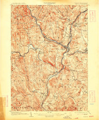
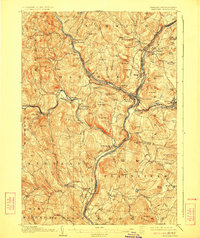
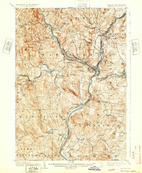
Other maps of this area

1896 · Strafford
USGS Topo · 1:62,500

1902 · Sunapee
USGS Topo · 1:62,500

1905 · Sunapee
USGS Topo · 1:62,500

1906 · Hanover
USGS Topo · 1:62,500

1907 · Sunapee
USGS Topo · 1:62,500

1908 · Hanover
USGS Topo · 1:62,500

1911 · Woodstock
USGS Topo · 1:62,500

1913 · Woodstock
USGS Topo · 1:62,500

1919 · Royalton
USGS Topo · 1:62,500

1924 · Randolph
USGS Topo · 1:48,000