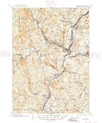
1908 Map of Hanover
USGS Topo · Published 1948About this map
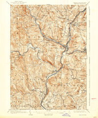
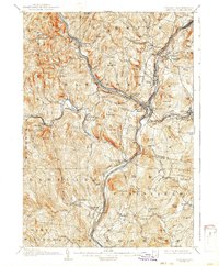
White River and Connecticut River define the industrial and transport hub of this Upper Valley region during the early 1900s. At the confluence, White River Junction serves as the critical nexus for the Central Vermont Railroad and Boston and Maine Railroad, illustrating the era's dependence on rail connectivity. Further east, the campus of Dartmouth College anchors the town of Hanover, while the Ottauquechee River carves through the landscape at Quechee Gulf near the industrial works at Deweys Mills. The map documents a landscape of numerous named hills and agricultural settlements, connected by historic routes like the Kings Highway and Woodstock Turnpike. Smaller communities such as Hartland Four Corners, Cornish Flat, and West Hartford are clearly delineated alongside rural landmarks like the Podunk School and Bragg School.
Find a feature on this map
131 named features on this map. Tap any name to fly to it.
Don’t see what you’re looking for? This feature index may not catch every label — zoom into the map to look around manually.
Map Details
Editions of this 1908 Hanover Map
7 editions found
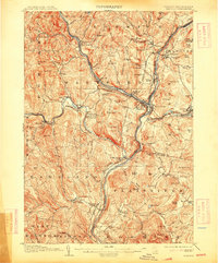
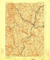
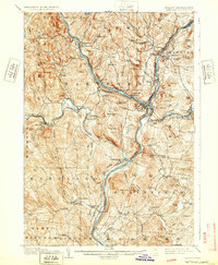
Other maps of this area

1896 · Strafford
USGS Topo · 1:62,500

1902 · Sunapee
USGS Topo · 1:62,500

1905 · Sunapee
USGS Topo · 1:62,500

1906 · Hanover
USGS Topo · 1:62,500

1907 · Sunapee
USGS Topo · 1:62,500

1908 · Hanover
USGS Topo · 1:62,500

1911 · Woodstock
USGS Topo · 1:62,500

1913 · Woodstock
USGS Topo · 1:62,500

1919 · Royalton
USGS Topo · 1:62,500

1924 · Randolph
USGS Topo · 1:48,000