
1970 Map of Hansboro SE
USGS Topo · Published 1973About this map
Armourdale sits within the prairie landscape of Towner County, defined by its position at the junction of the Soo Line and Burlington Northern railroads. This 1970s survey captures a rural landscape transitioning through mid-century agricultural patterns, where the townships of Armourdale and Howell are marked by a network of section lines and scattered Gravel Pits.
Find a feature on this map
12 named features on this map. Tap any name to fly to it.
Don’t see what you’re looking for? This feature index may not catch every label — zoom into the map to look around manually.
Map Details
Editions of this 1970 Hansboro SE Map
This is the sole edition of this map. No revisions or reprints were ever made.
Other maps of this area

1953 · Devils Lake
USGS Topo · 1:250,000

1956 · Devils Lake
USGS Topo · 1:250,000

1962 · Snyder Lake
USGS Topo · 1:24,000
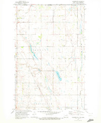
1969 · Hansboro NE
USGS Topo · 1:24,000
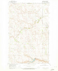
1969 · Hansboro
USGS Topo · 1:24,000
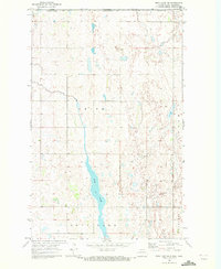
1969 · Rock Lake NW
USGS Topo · 1:24,000

1970 · Hansboro SW
USGS Topo · 1:24,000

1970 · Rock Lake
USGS Topo · 1:24,000

1971 · Bisbee North
USGS Topo · 1:24,000
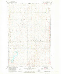
1971 · Big Coulee Dam
USGS Topo · 1:24,000