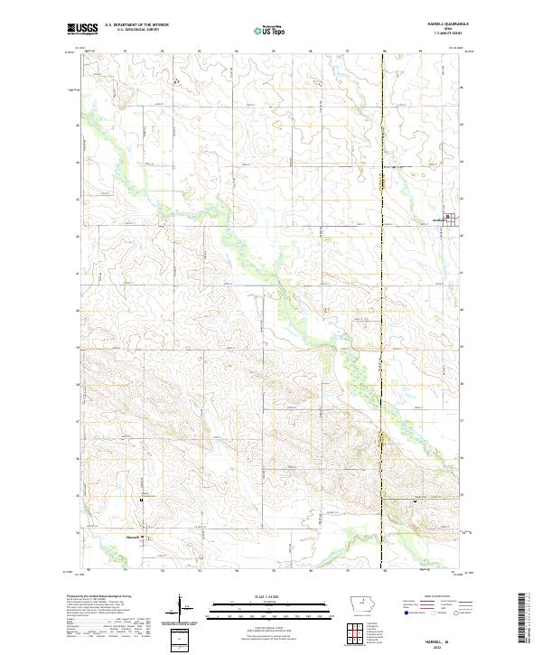
2022 Map of Hansell
USGS Topo · Published 2022About this map
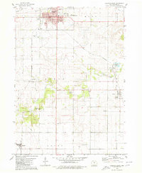
Hansell and Aredale anchor this agricultural landscape in north-central Iowa, where the West Fork Cedar River carves a meandering path across the terrain. The map captures a well-defined grid of township roads and section lines, a layout typical of the rural Midwest. For genealogists and local historians, the presence of the Ingham Township Cem near Hansell and the Harlan Cem to the east provides vital points of interest for tracing family roots in the area. The drainage pattern is notably complex for a prairie setting, defined by several significant waterways including Boylan Cr, Hartgrave Creek, and Otter Creek, which suggest the natural hydrology that influenced early land use and settlement patterns. The map also delineates the boundary between Franklin Co and Butler Co, marking the jurisdictional transition near Aredale.
Find a feature on this map
45 named features on this map. Tap any name to fly to it.
Don’t see what you’re looking for? This feature index may not catch every label — zoom into the map to look around manually.
Map Details
Editions of this 2022 Hansell Map
This is the sole edition of this map. No revisions or reprints were ever made.
Other maps of this area

1954 · Waterloo
USGS Topo · 1:250,000

1955 · Waterloo
USGS Topo · 1:250,000

1972 · Dumont North
USGS Topo · 1:24,000

1972 · Hansell
USGS Topo · 1:24,000
1972 · Dougherty
USGS Topo · 1:24,000
1972 · Aureola
USGS Topo · 1:24,000
1972 · Sheffield
USGS Topo · 1:24,000

1972 · Hampton North
USGS Topo · 1:24,000

1979 · Ackley NE
USGS Topo · 1:24,000
1979 · Hampton South
USGS Topo · 1:24,000