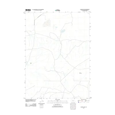
2012 Map of Hansen Lake
USGS Topo · Published 2012About this map
Hansen Lake and McCann Lake characterize the high-desert hydrology of this portion of Sweetwater County, where seasonal water sources and alkali flats are vital to the landscape. The terrain is marked by distinctive geological formations like Coal Butte and the sweeping Chain Lakes Rim, which orients the drainage patterns across this arid basin. This 2012 survey by the U.S. Geological Survey shows a largely undeveloped expanse, primarily utilized for grazing and mineral exploration. The Wamsutter-Crooks Gap Rd serves as the primary artery through the region, connecting remote ranchlands and tracking the history of Wyoming's inland transit routes.
Find a feature on this map
5 named features on this map. Tap any name to fly to it.
Don’t see what you’re looking for? This feature index may not catch every label — zoom into the map to look around manually.
Map Details
Editions of this 2012 Hansen Lake Map
This is the sole edition of this map. No revisions or reprints were ever made.
Other maps of this area

1954 · Rawlins
USGS Topo · 1:250,000

1954 · Rock Springs
USGS Topo · 1:250,000

1955 · Lander
USGS Topo · 1:250,000

1955 · Casper
USGS Topo · 1:250,000

1958 · Rawlins
USGS Topo · 1:250,000

1958 · Casper
USGS Topo · 1:250,000

1958 · Lander
USGS Topo · 1:250,000

1958 · Rock Springs
USGS Topo · 1:250,000

1960 · Battle Spring
USGS Topo · 1:24,000

1960 · Hansen Lake NE
USGS Topo · 1:24,000