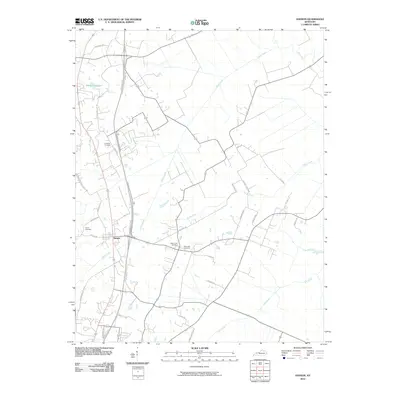
2010 Map of Hanson
USGS Topo · Published 2010About this map
Hanson serves as the primary hub of this northern Hopkins County landscape, where the modern Pennyrile Pkwy intersects with a network of rural roads that trace much older property lines. The settlement is anchored by a cluster of civic and memorial sites, including West Lawn Cemetery and East Lawn Cemetery situated just east of the town center. The surrounding countryside is defined by the winding paths of Otter Creek, Narge Creek, and Elk Creek, which drain a region characterized by small-scale agriculture and family-named landmarks. Genealogists will find several burial grounds across the area, from the Crabtree Cemetery in the north to the Gooch Cemetery on the western edge near Slaughters Lake Rd. The map illustrates the 21st-century balance between high-speed transit and the enduring rural structure of western Kentucky.
Find a feature on this map
35 named features on this map. Tap any name to fly to it.
Don’t see what you’re looking for? This feature index may not catch every label — zoom into the map to look around manually.
Map Details
Editions of this 2010 Hanson Map
This is the sole edition of this map. No revisions or reprints were ever made.
Other maps of this area

1906 · Sebree
USGS Topo · 1:62,500

1907 · Earlington
USGS Topo · 1:48,000

1908 · Calhoun
USGS Topo · 1:62,500

1909 · Earlington
USGS Topo · 1:62,500

1909 · Madisonville
USGS Topo · 1:62,500

1949 · Sebree
USGS Topo · 1:24,000

1951 · Sebree
USGS Topo · 1:24,000

1952 · Sacramento
USGS Topo · 1:24,000

1952 · Calhoun
USGS Topo · 1:24,000

1952 · Beech Grove
USGS Topo · 1:24,000