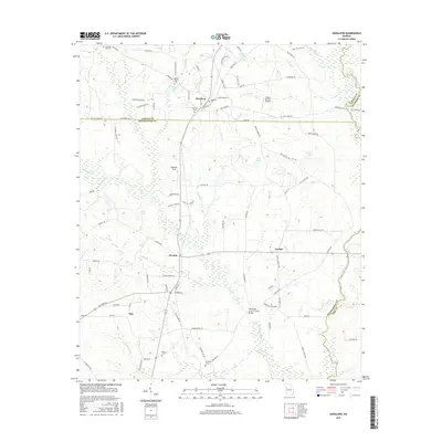
2017 Map of Haralson
USGS Topo · Published 2017About this map
Haralson sits at the northern edge of a landscape defined by the winding tributaries of the Flint River, where the borders of Coweta, Meriwether, Spalding, and Pike counties converge. This area maintains its agricultural and rural character, evidenced by the numerous small family cemeteries and local landmarks like the White Oak Creek Covered Bridge. The terrain is crisscrossed by several named waterways, including Beaver Cr, White Oak Cr, and Line Creek, which feed into local reservoirs such as Moss Lake and Swygert Lake. Small crossroads settlements like Alvaton and Alps provide focal points for the surrounding farms and fields. The presence of private airstrips like Gable Branch Airport and recreational spots like Fagundes Field reflects the modern development of this historic Georgia Piedmont region while preserving its traditional land use patterns.
Find a feature on this map
100 named features on this map. Tap any name to fly to it.
Don’t see what you’re looking for? This feature index may not catch every label — zoom into the map to look around manually.
Map Details
Editions of this 2017 Haralson Map
This is the sole edition of this map. No revisions or reprints were ever made.
Other maps of this area

1953 · Atlanta
USGS Topo · 1:250,000

1957 · Atlanta
USGS Topo · 1:250,000

1958 · Atlanta
USGS Topo · 1:250,000

1965 · Senoia
USGS Topo · 1:24,000

1965 · Brooks
USGS Topo · 1:24,000

1965 · Sharpsburg
USGS Topo · 1:24,000
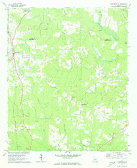
1971 · Luthersville
USGS Topo · 1:24,000
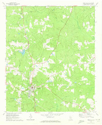
1971 · Greenville
USGS Topo · 1:24,000

1971 · Hollonville
USGS Topo · 1:24,000
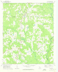
1971 · Haralson
USGS Topo · 1:24,000