2024 Map of Haralson
USGS Topo · Published 2024About this map
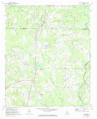
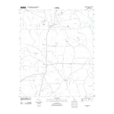
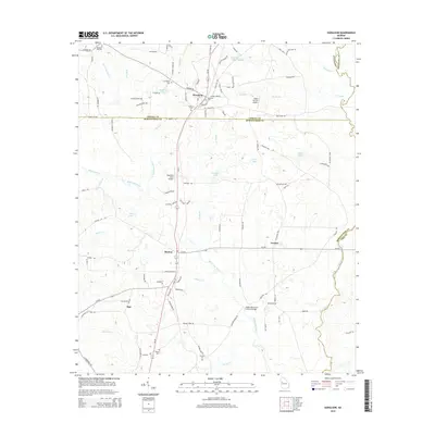
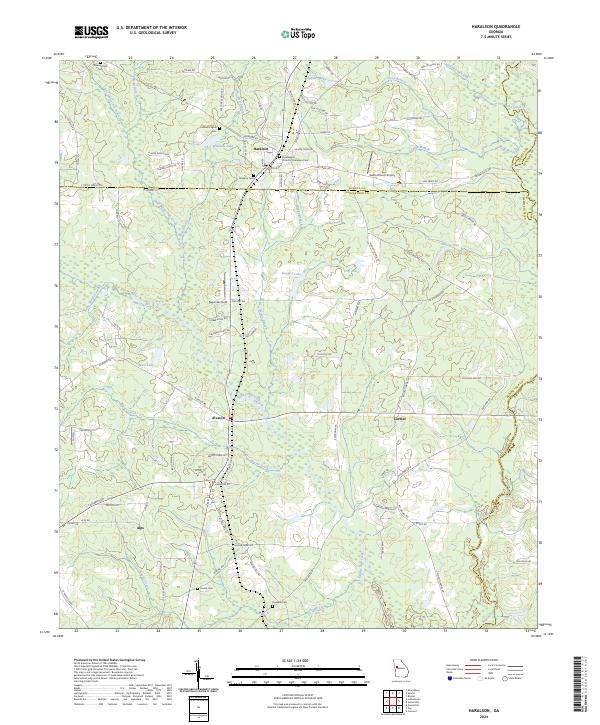
Haralson sits at the intersection of Coweta and Meriwether counties, serving as a focal point for a landscape defined by small settlements and family burial grounds. The community is anchored by the First Baptist Church of Haralson and several nearby interments, including Haralson Cem and the Church of Haralson Cem. To the south, the village of Alvaton marks the transition into more frequent wetlands and creek systems that feed toward the Flint River in the southeastern corner.
Find a feature on this map
102 named features on this map. Tap any name to fly to it.
Don’t see what you’re looking for? This feature index may not catch every label — zoom into the map to look around manually.
Map Details
Editions of this 2024 Haralson Map
This is the sole edition of this map. No revisions or reprints were ever made.
Historical Maps of Haralson Through Time
6 maps found