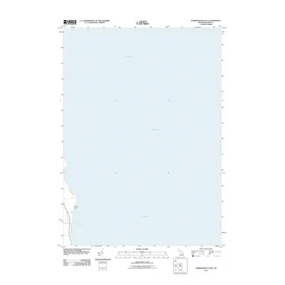
2011 Map of Harbor Beach OE E
USGS Topo · Published 2011About this map
Lake Huron dominates this coastal survey, where the Michigan shoreline meets the expansive open water of the Great Lakes. Along the narrow terrestrial strip, the landscape is defined by the recreation areas of Wagener County Park and the indentations of Sharpe Bay and Purdy Bay. The shoreline transport corridor is clearly established by local routes such as Lakeside Dr and Old Lakeshore Rd, which trace the edge of the land before it drops away into the deep blue of the lake. This specific edition provides a precise look at the shoreline configuration in the early 21st century, illustrating the relationship between the coastal road network and the natural harbors of the Huron County coast.
Find a feature on this map
6 named features on this map. Tap any name to fly to it.
Don’t see what you’re looking for? This feature index may not catch every label — zoom into the map to look around manually.
Map Details
Editions of this 2011 Harbor Beach OE E Map
This is the sole edition of this map. No revisions or reprints were ever made.
Other maps of this area

1954 · Flint
USGS Topo · 1:250,000

1958 · Flint
USGS Topo · 1:250,000

1963 · Forestville
USGS Topo · 1:24,000

1963 · Ruth
USGS Topo · 1:24,000

1970 · Port Hope
USGS Topo · 1:24,000

1970 · Harbor Beach
USGS Topo · 1:24,000

1984 · Harbor Beach
USGS Topo · 1:100,000
2011 · Forestville
USGS Topo · 1:24,000
2011 · Harbor Beach
USGS Topo · 1:24,000
2011 · Port Hope
USGS Topo · 1:24,000