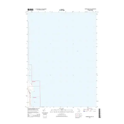
2014 Map of Harbor Beach OE E
USGS Topo · Published 2014About this map
Lake Huron dominates this coastal survey of the Michigan shoreline, revealing the intricate interface between land and water in Huron County. The map details the small indentations of the coast at Sharpe Bay and Purdy Bay, providing a precise record of the shoreline's edge. Along the narrow strip of land, S Lakeshore Rd and Lakeside Dr follow the contour of the water, serving as the primary arteries for this lakeside community. Small drainage features like Buckley Cr bisect the terrain, cutting toward the expansive open water. This 2014 representation focuses on the transition from the organized township grids of t16n r16e and t15n r16e to the natural lakefront, capturing the contemporary layout of property and access roads along the Great Lakes coast.
Find a feature on this map
8 named features on this map. Tap any name to fly to it.
Don’t see what you’re looking for? This feature index may not catch every label — zoom into the map to look around manually.
Map Details
Editions of this 2014 Harbor Beach OE E Map
This is the sole edition of this map. No revisions or reprints were ever made.
Other maps of this area

1954 · Flint
USGS Topo · 1:250,000

1958 · Flint
USGS Topo · 1:250,000

1963 · Forestville
USGS Topo · 1:24,000

1963 · Ruth
USGS Topo · 1:24,000

1970 · Port Hope
USGS Topo · 1:24,000

1970 · Harbor Beach
USGS Topo · 1:24,000

1984 · Harbor Beach
USGS Topo · 1:100,000
2011 · Forestville
USGS Topo · 1:24,000
2011 · Harbor Beach
USGS Topo · 1:24,000
2011 · Harbor Beach OE E
USGS Topo · 1:24,000