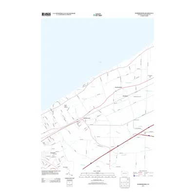
2013 Map of Harborcreek
USGS Topo · Published 2013About this map
Lake Erie defines the northern boundary of this coastal landscape, where the land is carved by a series of numbered drainages including Sixmile Cr, Sevenmile Cr, Eightmile Cr, and Twelvemile Cr. The settlement pattern follows the lake's shoreline and the primary transportation corridors, with Harborcreek serving as a central hub. Further east, the map details the distinct communities of Moorheadville and Moorhead, alongside the private Moorhead Airpark LLC. The southern portion of the sheet transitions into more rural terrain, featuring the Gospel Hill Golf Course and small crossroads like Sheridan Corners and Eades Corners. Prominent landmarks such as Mount Saint Benedict sit near the bluffs, while the grid of local roads like Catholic Cemetery Rd and Brickyard Rd provides specific data points for local history and genealogy research.
Find a feature on this map
104 named features on this map. Tap any name to fly to it.
Don’t see what you’re looking for? This feature index may not catch every label — zoom into the map to look around manually.
Map Details
Editions of this 2013 Harborcreek Map
This is the sole edition of this map. No revisions or reprints were ever made.
Other maps of this area

1899 · Erie
USGS Topo · 1:62,500

1900 · Erie
USGS Topo · 1:62,500

1913 · North East
USGS Topo · 1:62,500

1915 · North East
USGS Topo · 1:62,500

1943 · North East
USGS Topo · 1:62,500

1950 · Erie
USGS Topo · 1:250,000

1957 · Erie South
USGS Topo · 1:24,000
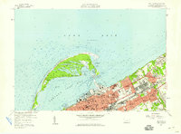
1957 · Erie North
USGS Topo · 1:24,000

1959 · Erie
USGS Topo · 1:250,000

1960 · Buffalo
USGS Topo · 1:250,000
Featured Places
- Harborcreek Township, PA
- North East Township, PA
- Sheridan Corners, PA
- Greenfield Township, PA
- Moorhead, Harborcreek Township