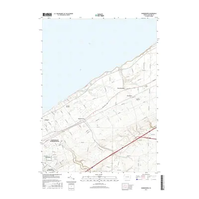
2016 Map of Harborcreek
USGS Topo · Published 2016About this map
Lake Erie defines the northern boundary of this coastal landscape, where numerous tributaries such as Twelvemile Cr, Eightmile Cr, and Sevenmile Cr cut through the terrain toward the shoreline. The settlement pattern reflects a mix of established residential pockets and educational institutions, most notably the Penn State Erie (Behrend) campus in the southwest. Local history is anchored by several burial grounds including Saint Gregory Cem and Jacob Cem, while the community of Harborcreek serves as a central hub along the arterial Buffalo Rd. The presence of the Moorhead Airpark LLC near Moorhead and the religious site at Mt Saint Benedict further illustrate the varied land use of this Erie County township during the mid-2010s, capturing a moment of contemporary suburban and institutional development near the Great Lakes.
Find a feature on this map
82 named features on this map. Tap any name to fly to it.
Don’t see what you’re looking for? This feature index may not catch every label — zoom into the map to look around manually.
Map Details
Editions of this 2016 Harborcreek Map
This is the sole edition of this map. No revisions or reprints were ever made.
Other maps of this area

1899 · Erie
USGS Topo · 1:62,500

1900 · Erie
USGS Topo · 1:62,500

1913 · North East
USGS Topo · 1:62,500

1915 · North East
USGS Topo · 1:62,500

1943 · North East
USGS Topo · 1:62,500

1950 · Erie
USGS Topo · 1:250,000

1957 · Erie South
USGS Topo · 1:24,000
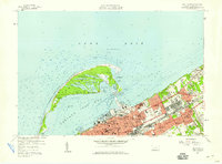
1957 · Erie North
USGS Topo · 1:24,000

1959 · Erie
USGS Topo · 1:250,000

1960 · Buffalo
USGS Topo · 1:250,000
Featured Places
- Harborcreek Township, PA
- North East Township, PA
- Sheridan Corners, PA
- Greenfield Township, PA
- Moorhead, Harborcreek Township