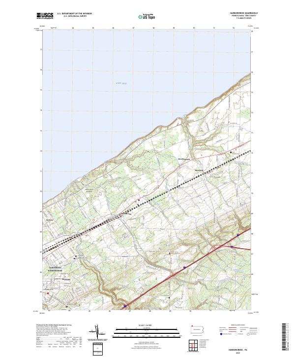
2023 Map of Harborcreek
USGS Topo · Published 2023About this map
Lake Erie shoreline developments and the deep-cut stream valleys of Erie County define this portrait of the Lakeview region. The landscape is marked by a sequence of parallel waterways, including Sixmile Creek, Sevenmile Creek, and Eightmile Creek, which flow north from the interior highlands toward the lake. These natural corridors have historically shaped the settlement patterns of towns like Harborcreek and Moorheadville, which are anchored along the vital transportation axes of Buffalo Rd and E Lake Rd.
Find a feature on this map
29 named features on this map. Tap any name to fly to it.
Don’t see what you’re looking for? This feature index may not catch every label — zoom into the map to look around manually.
Map Details
Editions of this 2023 Harborcreek Map
This is the sole edition of this map. No revisions or reprints were ever made.
Other maps of this area

1899 · Erie
USGS Topo · 1:62,500

1900 · Erie
USGS Topo · 1:62,500

1913 · North East
USGS Topo · 1:62,500

1915 · North East
USGS Topo · 1:62,500

1943 · North East
USGS Topo · 1:62,500

1950 · Erie
USGS Topo · 1:250,000

1957 · Erie South
USGS Topo · 1:24,000
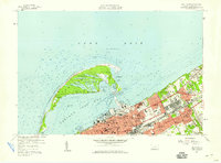
1957 · Erie North
USGS Topo · 1:24,000

1959 · Erie
USGS Topo · 1:250,000

1960 · Buffalo
USGS Topo · 1:250,000
Featured Places
- Harborcreek Township, PA
- Greenfield Township, PA
- North East Township, PA
- Moorhead, Harborcreek Township
- Moorheadville, Harborcreek Township