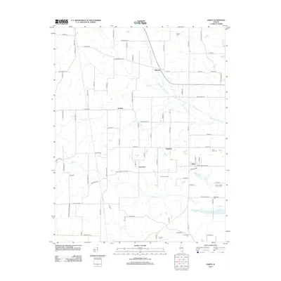
2012 Map of Harco
USGS Topo · Published 2012About this map
The Middle Fork Saline River and Brushy Cr define the drainage and settlement patterns across this corner of Saline County. Small rural hubs like Rileyville, Banklick, Hartford, and New Hope anchor a grid of country roads, while the community of Harco sits near the eastern edge. The landscape is deeply tied to local family histories, evidenced by numerous burial sites including the Old Ruff Cem, Brooks Cem, and two distinct Abney plots: Abney Family Cem and Abney Family Number 2 Cem. The presence of the Martin Swine Farm and a dense network of secondary roads such as Ebenezer Church RD and Locust Grove RD illustrate the modern agricultural character of the region. This 2012 survey provides a detailed look at the rural south-central Illinois plains just before the digital mapping era reached its current saturation.
Find a feature on this map
84 named features on this map. Tap any name to fly to it.
Don’t see what you’re looking for? This feature index may not catch every label — zoom into the map to look around manually.
Map Details
Editions of this 2012 Harco Map
This is the sole edition of this map. No revisions or reprints were ever made.
Other maps of this area

1908 · Galatia
USGS Topo · 1:62,500

1909 · West Frankfort
USGS Topo · 1:62,500

1925 · Marion
USGS Topo · 1:62,500

1925 · Harrisburg
USGS Topo · 1:62,500

1938 · Galatia
USGS Topo · 1:62,500

1939 · Harrisburg
USGS Topo · 1:62,500

1940 · Marion
USGS Topo · 1:62,500

1941 · West Frankfort
USGS Topo · 1:62,500

1949 · Paducah
USGS Topo · 1:250,000

1950 · Paducah
USGS Topo · 1:250,000