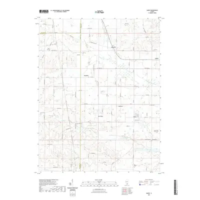
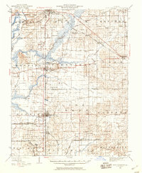
2021 Map of Harco
USGS Topo · Published 2021About this map
Galatia and the coal-mining heritage of Saline County anchor this landscape, where the Middle Fork Saline River and its tributaries like Prairie Cr and Brushy Cr carve through southern Illinois. The settlement of Harco, historically linked to the mining industry, sits centrally among a network of rural hamlets including Hartford, New Hope, and Banklick.
Find a feature on this map
89 named features on this map. Tap any name to fly to it.
Don’t see what you’re looking for? This feature index may not catch every label — zoom into the map to look around manually.
Map Details
Editions of this 2021 Harco Map
This is the sole edition of this map. No revisions or reprints were ever made.
Other maps of this area
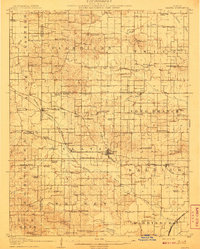
1908 · Galatia
USGS Topo · 1:62,500
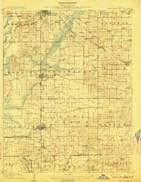
1909 · West Frankfort
USGS Topo · 1:62,500
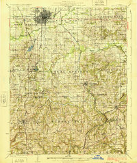
1925 · Marion
USGS Topo · 1:62,500
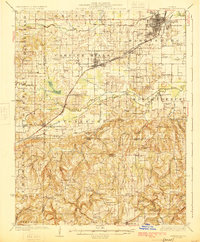
1925 · Harrisburg
USGS Topo · 1:62,500
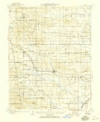
1938 · Galatia
USGS Topo · 1:62,500
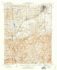
1939 · Harrisburg
USGS Topo · 1:62,500
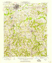
1940 · Marion
USGS Topo · 1:62,500
1941 · West Frankfort
USGS Topo · 1:62,500

1949 · Paducah
USGS Topo · 1:250,000

1950 · Paducah
USGS Topo · 1:250,000