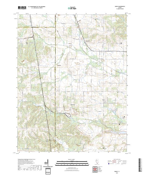
2024 Map of Harco
USGS Topo · Published 2024About this map
Harco and Rileyville anchor this Southern Illinois landscape at the triple junction of Saline, Williamson, and Franklin counties. The terrain is defined by the sluggish meanders of the Middle Fork Saline River, which is fed by drainage networks including Prairie Creek and Brushy Creek. This area maintains a strong rural character, where the road system often follows section lines or local topography, connecting small settlements like Banklick and New Hope.
Find a feature on this map
79 named features on this map. Tap any name to fly to it.
Don’t see what you’re looking for? This feature index may not catch every label — zoom into the map to look around manually.
Map Details
Editions of this 2024 Harco Map
This is the sole edition of this map. No revisions or reprints were ever made.
Other maps of this area

1908 · Galatia
USGS Topo · 1:62,500

1909 · West Frankfort
USGS Topo · 1:62,500

1925 · Marion
USGS Topo · 1:62,500

1925 · Harrisburg
USGS Topo · 1:62,500

1938 · Galatia
USGS Topo · 1:62,500

1939 · Harrisburg
USGS Topo · 1:62,500

1940 · Marion
USGS Topo · 1:62,500

1941 · West Frankfort
USGS Topo · 1:62,500

1949 · Paducah
USGS Topo · 1:250,000

1950 · Paducah
USGS Topo · 1:250,000