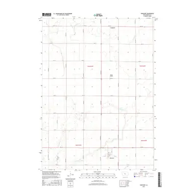
2015 Map of Harcourt
USGS Topo · Published 2015About this map
Harcourt anchors the southern portion of this Iowa landscape, where a rigid grid of agricultural roads like 360th St and Indiana Ave structures the terrain. This rural expanse is defined by its water management systems, notably Drainage Ditch Number 29 and Ditch Number 48, which illustrate the extensive engineering required to sustain the region's productive farmland. The map reveals the quiet persistence of early settlements such as Palm Grove and Lundgren, which stand as small nodes within the vast section-line geometry.
Find a feature on this map
30 named features on this map. Tap any name to fly to it.
Don’t see what you’re looking for? This feature index may not catch every label — zoom into the map to look around manually.
Map Details
Editions of this 2015 Harcourt Map
This is the sole edition of this map. No revisions or reprints were ever made.
Other maps of this area

1923 · Lehigh
USGS Topo · 1:62,500

1951 · Ogden
USGS Topo · 1:62,500

1954 · Fort Dodge
USGS Topo · 1:250,000

1957 · Fort Dodge
USGS Topo · 1:250,000

1958 · Fort Dodge
USGS Topo · 1:250,000

1962 · Jefferson
USGS Topo · 1:62,500

1965 · Moorland
USGS Topo · 1:24,000

1965 · Fort Dodge South
USGS Topo · 1:24,000

1965 · Lehigh
USGS Topo · 1:24,000

1965 · Gowrie
USGS Topo · 1:24,000