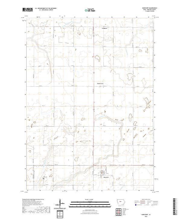
2022 Map of Harcourt
USGS Topo · Published 2022About this map
The town of Harcourt anchors the southern portion of this Webster County landscape, where the street grid of Linden St and S Ash St meets the regional crossing of 360th St. This area of central Iowa is defined by a strictly organized section-line road system, including arterial routes like Lainson Ave and Madison Ave, which connect small outlying settlements such as Lundgren and Palm Grove.
Find a feature on this map
36 named features on this map. Tap any name to fly to it.
Don’t see what you’re looking for? This feature index may not catch every label — zoom into the map to look around manually.
Map Details
Editions of this 2022 Harcourt Map
This is the sole edition of this map. No revisions or reprints were ever made.
Other maps of this area

1923 · Lehigh
USGS Topo · 1:62,500

1951 · Ogden
USGS Topo · 1:62,500

1954 · Fort Dodge
USGS Topo · 1:250,000

1957 · Fort Dodge
USGS Topo · 1:250,000

1958 · Fort Dodge
USGS Topo · 1:250,000

1962 · Jefferson
USGS Topo · 1:62,500

1965 · Moorland
USGS Topo · 1:24,000

1965 · Fort Dodge South
USGS Topo · 1:24,000

1965 · Lehigh
USGS Topo · 1:24,000

1965 · Gowrie
USGS Topo · 1:24,000