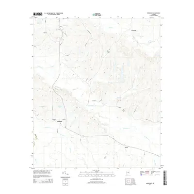
2014 Map of Hardaway
USGS Topo · Published 2014About this map
Cubahatchee Cr and its numerous tributaries, including Beaverdam Cr, Sleepy Cr, and Coon Hop Cr, carve a complex drainage pattern across this section of central Alabama. The settlement of Hardaway serves as a local hub, situated near the junction of CR-2 and CR-13, with the smaller communities of Liverpool to the north and Downs to the southeast. This landscape is deeply connected to local family histories, evidenced by several small burial grounds such as Ambers Cem, Cole Cem, and Mt Pleasant Cem that dot the high ground between creek branches.
Find a feature on this map
48 named features on this map. Tap any name to fly to it.
Don’t see what you’re looking for? This feature index may not catch every label — zoom into the map to look around manually.
Map Details
Editions of this 2014 Hardaway Map
This is the sole edition of this map. No revisions or reprints were ever made.
Other maps of this area

1955 · Phenix City
USGS Topo · 1:250,000

1957 · Phenix City
USGS Topo · 1:250,000

1958 · Phenix City
USGS Topo · 1:250,000

1971 · Tuskegee
USGS Topo · 1:24,000

1971 · Shorter
USGS Topo · 1:24,000

1971 · La Place
USGS Topo · 1:24,000

1971 · Hardaway
USGS Topo · 1:24,000

1971 · Thompson
USGS Topo · 1:24,000
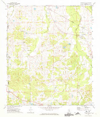
1971 · Fitzpatrick
USGS Topo · 1:24,000
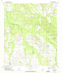
1971 · Chesson
USGS Topo · 1:24,000